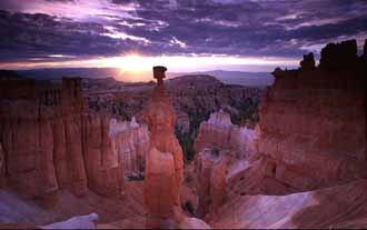
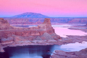
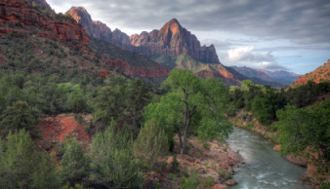
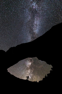
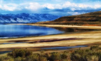
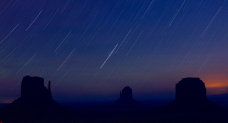
Ever Seen A Landscape So Spectacular
That You Were Never The Same?
That You Were Never The Same?
Utah State Map
For a map of the state of Utah, click here: Map of Utah
This detailed Google Utah state map clearly shows the exact geographical location of the state. Utah is located in the western part of the United States of America in the Rocky Mountain area.
Utah covers more than 84,899 square miles. The state is divided into 29 Counties. You’ll see that Interstate 15 runs the length of the state from north to south. The eastern and western regions of Utah are accessible by the Interstates 80, 70 and 84.
As you'll also notice that Utah is sparsely settled with 88% of the population living along The Wasatch Front.


